
KITSAP COUNTY, Wash. — Lowland areas of western Washington will continue to see rain overnight as snow falls in the mountain areas.
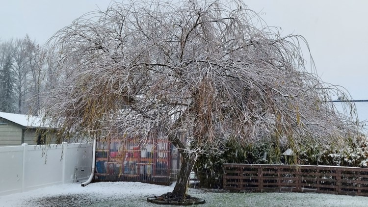
As more rain moved into the region, cold air trapped near the ground allowed for a rain-snow mix nearly anywhere away from Puget Sound. Along with areas at or above the snow level, a rain-snow mix occurred along Hood Canal and on the Kitsap Peninsula, as those areas tend to trap and hold cold air, according to KING 5 Meteorologist Rich Marriott.
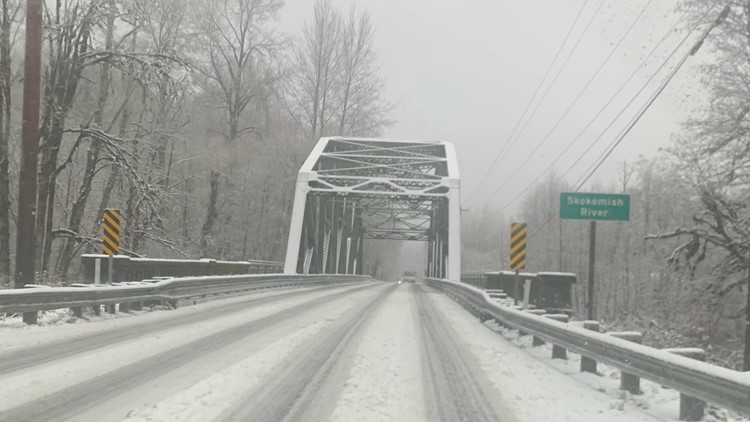
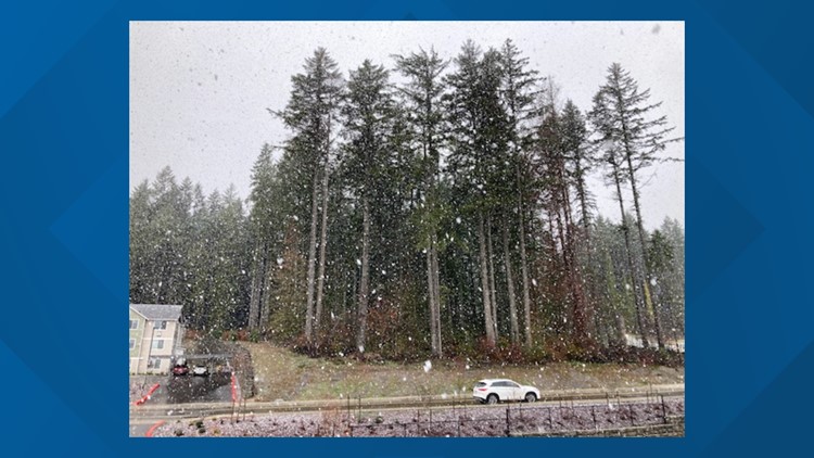
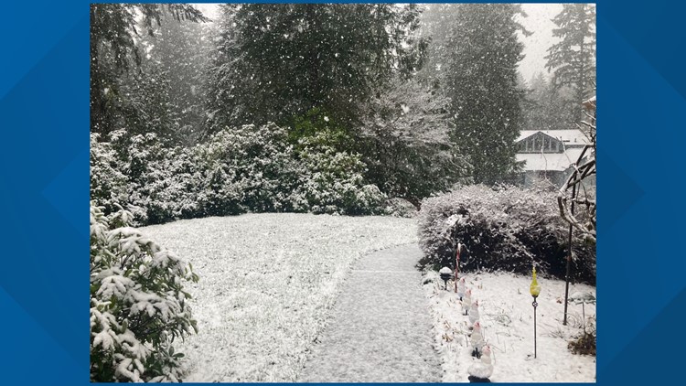
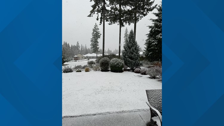
Snow was reported in parts of Kitsap County and on the Bremerton airport runway, according to tweets from the National Weather Service Seattle.
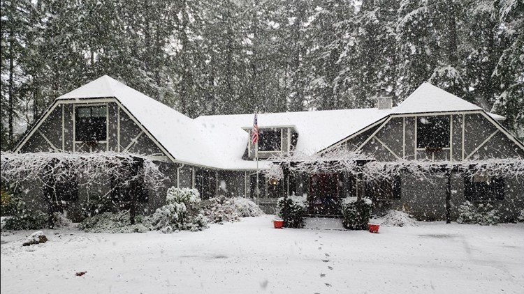
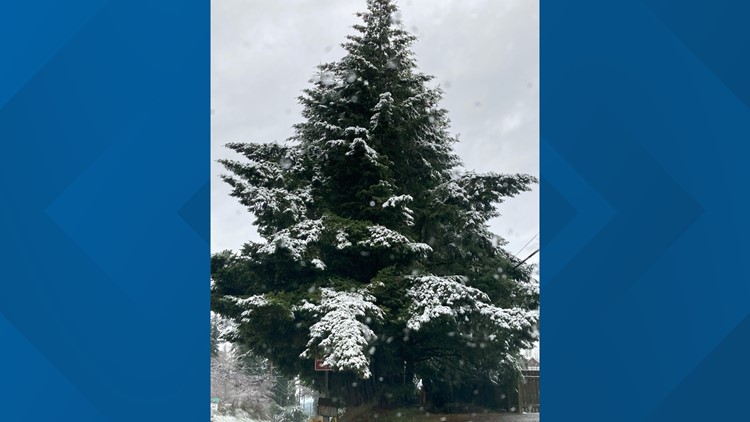
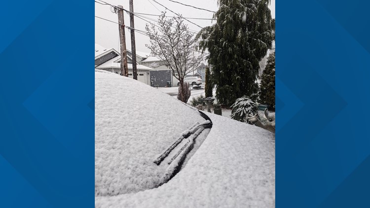
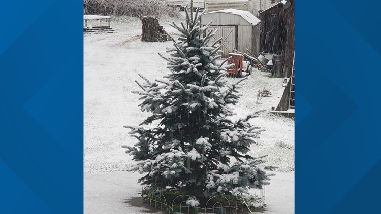
Outside your window: Viewers share photos of winter snowfall in Washington


Off-and-on rain continues Sunday into Monday, with lows in the mid-to upper-30s and highs in the mid-40s.
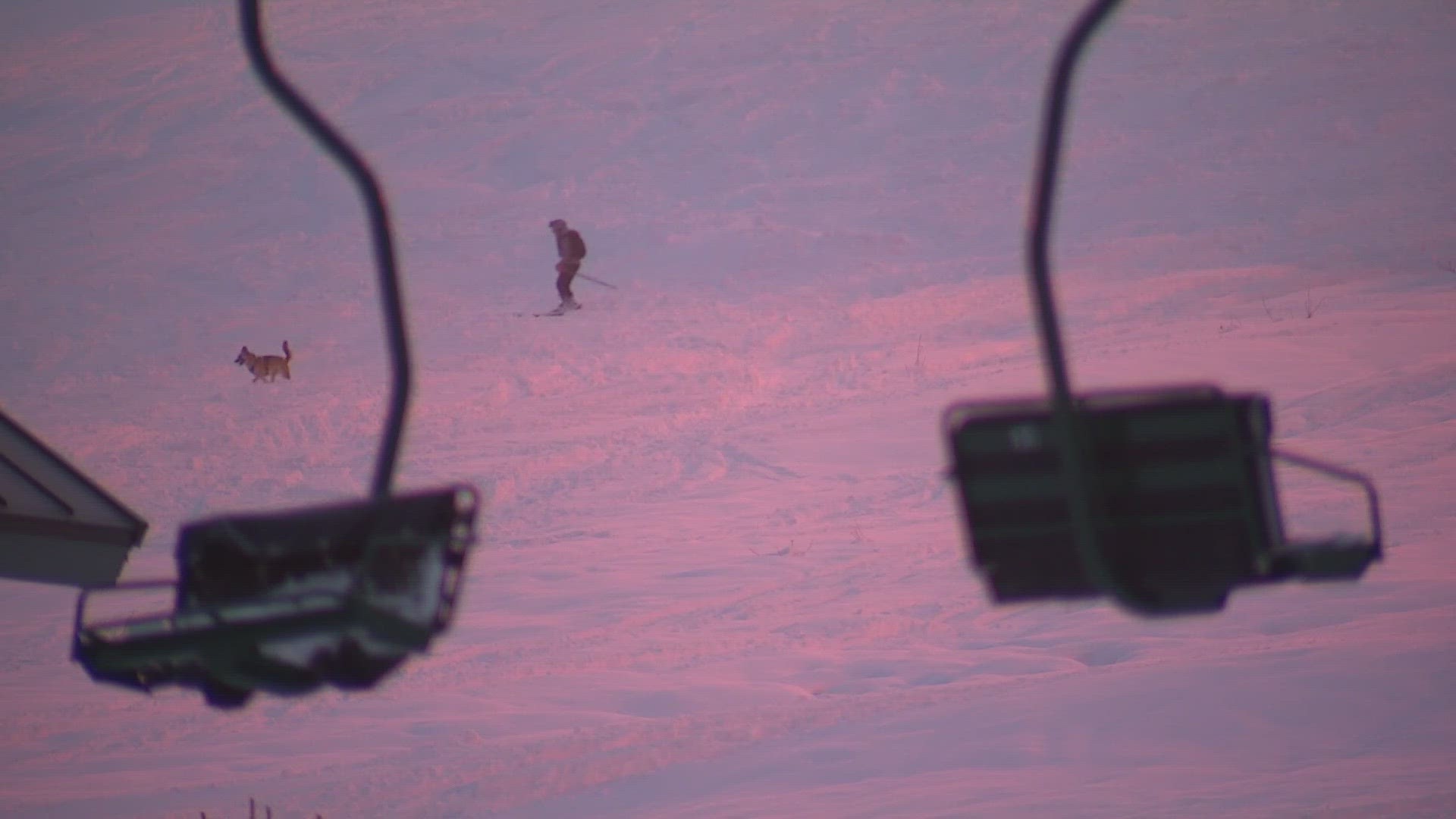
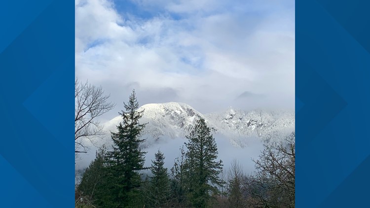
Mountain snow
Meanwhile, a Winter Storm Warning was issued for the central Cascades with heavy snow expected above 2,500 feet and snow accumulations of 8 to 12 inches. This includes Stevens and Snoqualmie passes. The Warning is in effect until 10 a.m. Sunday.
The snow will change to freezing rain in the passes Sunday morning, according to the National Weather Service.
A Winter Weather Advisory is in effect for the north and south Cascades with snow expected above 2,500 feet and total accumulations up to 10 inches. The Advisory is in effect until 4 a.m. Sunday.