
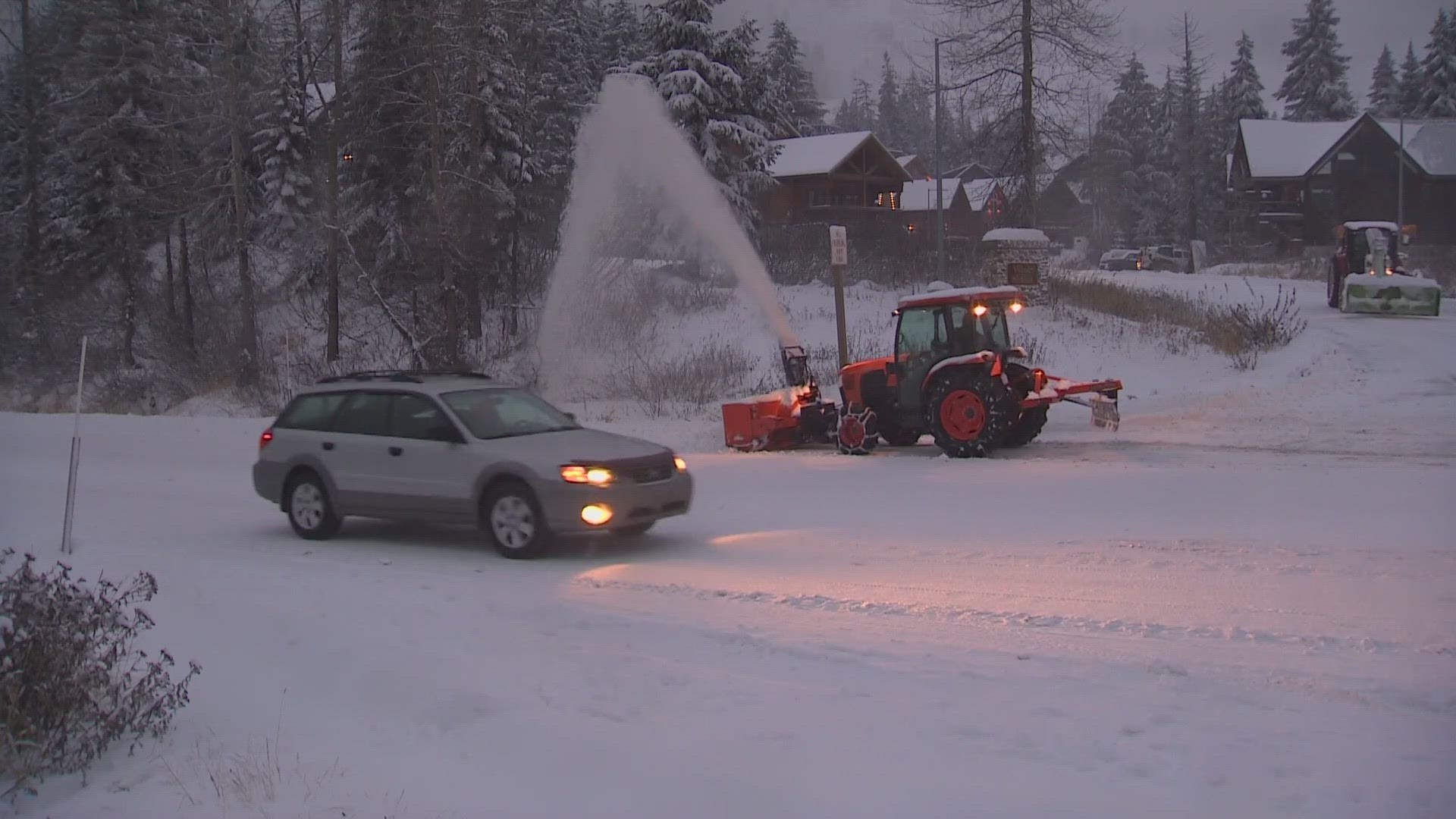
NORTH BEND, Wash. — Several feet of snow are expected in the Cascade Mountains this weekend, which could be challenging for pass travel.
A Winter Storm Warning is in place for the Cascades until 4 a.m. Sunday. Snow levels in the mountains should be between 2,000 and 3,000 feet Thursday into Saturday. Between 1-2 feet of new snow is likely at the pass levels through Saturday night. As much as 3 feet is possible above 5,000 feet.
Current models forecasted 18 inches at Snoqualmie Pass by 9 a.m. Saturday morning.
Travel could be "very difficult," according to the National Weather Service.
The snow has already caused challenges for drivers traveling over the Cascades. On Friday, about 30 semi-trucks that didn't chain up spun out on eastbound Interstate 90 near North Bend. The incident shut the eastbound lanes down for just over an hour.
A Winter Weather Advisory is in place for the Olympics through 4 p.m. Saturday.
Later Saturday a strong warm front begins to push in from the south and could push snow levels up to around 6,000 to 7,000 feet by Sunday with rain for the highway passes and the ski areas to end the weekend.
Another cold front is expected to move through early Wednesday, lowering snow levels, which could be helpful for snowpack and ski resorts.