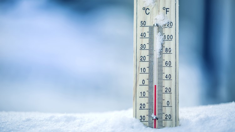
We’ll have one more frosty morning before clouds and wet weather return to Puget Sound.
Temperatures will dip into the mid- to upper-teens for some areas overnight Thursday into Friday morning. It will be in the 20s in most other areas around Western Washington, except for Seattle and Tacoma, where temperatures will be in the 30s, according to the National Weather Service (NWS).
Freezing temperatures will likely lead to patchy black ice on bridges and overpasses, the NWS warns. The cold snap we're experiencing is expected to continue through Friday.
A large ridge of high pressure put the state into a cool but dry weather pattern for the week.
RELATED: View full forecast
A weak system is expected to bring cloudy skies to Western Washington Friday afternoon with light rain late Friday night into Saturday morning. A second front is expected to bring more rain to the lowlands Saturday night into Sunday, with snow possible in the mountains.
Monday morning’s low of 32 degrees at Sea-Tac was the first time we hit freezing temperatures this season. On average, this happens by Nov. 13.
The freezing temperature happened 280 days after our last freeze last winter. In the last 30 years, the last and first freezes have been at least 280 days apart just four times, three of which were in the last three years, according to the National Weather Service.
Also see | What's the safest way to use a space heater?